PĀ
Ōhinerau is an ancient name for the Maunga and means the place of Hinerau, goddess of whirlwinds. Another ancient name is Ohinerangi, meaning the place of Hinerangi, girl of the sky.
A third name, Remuwera means the burnt hem of a skirt. This name dates to the 1700s and refers to an incident where a young visiting woman was killed on the Maunga.
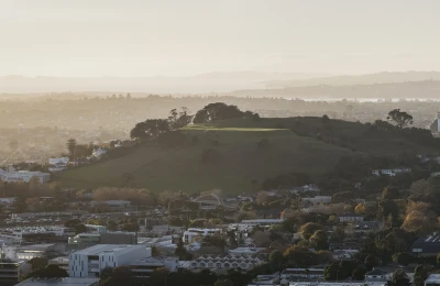
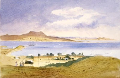
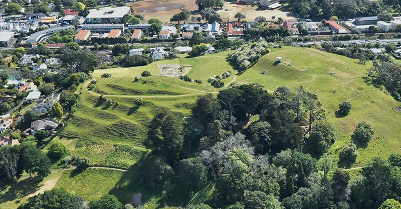
This Maunga was a large and sprawling pā with many terraces covering all sides of the Maunga from the base to the tihi (summit), ditch defences and storage pits. The terraces contained houses, storehouses and storage pits.
The pā had a single strong point at the tihi, defended by two large terraces. This is where the chief of the tribe would have resided.
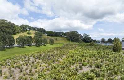
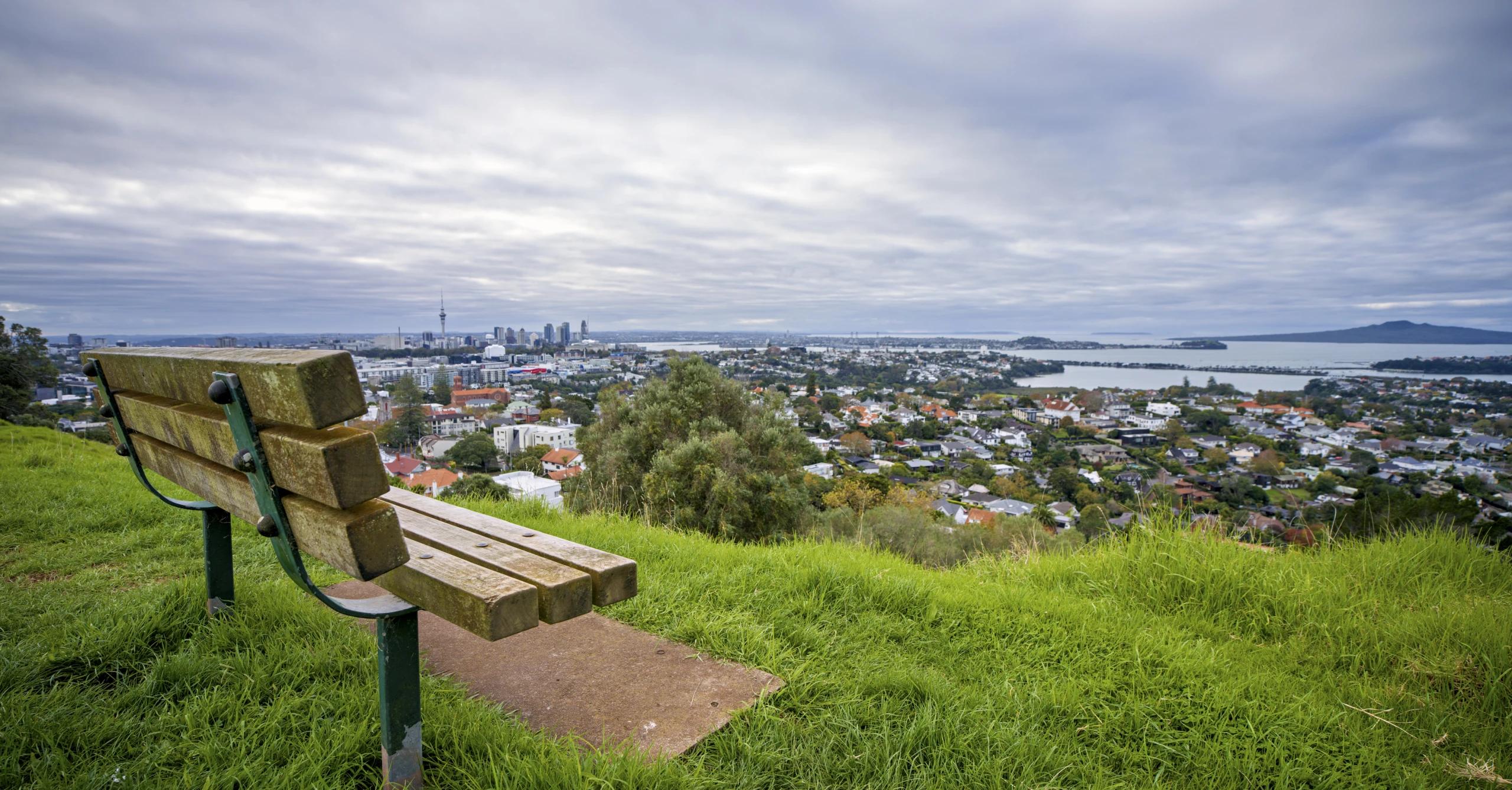
The western slopes which can be seen clearly from the vantage point of the modern-day Newmarket Viaduct, are thought to have been extensive hillside kūmara gardens. The lower slopes and flatter ground on all sides were utilised as gardens, with the site extending well beyond the present domain.
It is estimated that around 1,000 people lived on this pā settlement at the height of its occupation.
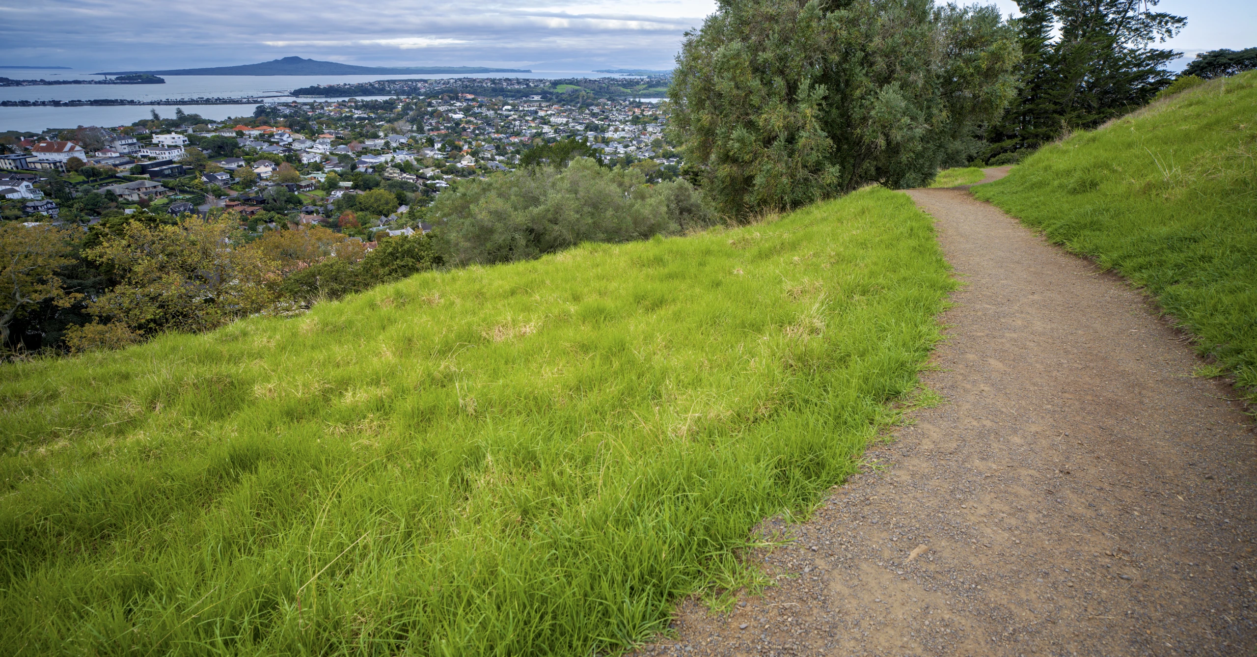
Though damaged by quarrying and water reservoir construction, remnants of the pā terraces and pits are still clearly visible around the crest of the Maunga. Historic midden deposits from the pā containing shells of cockles, pipi, catseye, scallop, obsidian and bone can be seen in the dirt banks as you walk the track to the summit.
These are important archaeological features. Do not disturb the midden and do not enter the historic pits.
GEOLOGY
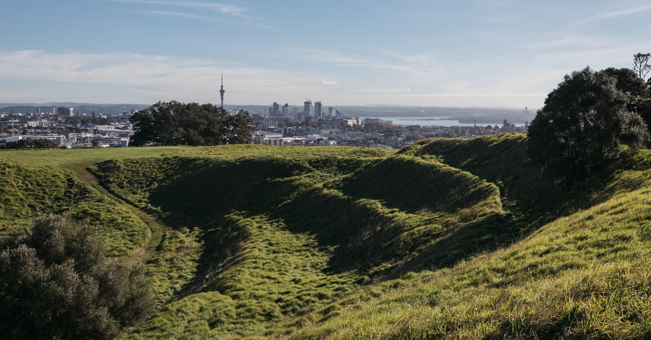
An explosive fire-fountaining eruption built up a scoria cone 143 meters tall. A central crater was created, though this was breached at the southwest side by lava in a later eruption, creating a horseshoe-shaped depression.
Lava flowed as far as the junction of Broadway and Great South Road, making contact with the Mt Eden lava field.
MAIN ENTRANCE OPENING HOURS
Summer: 7 am – 8.30 pm
Winter: 7 am – 7 pm
Times align with daylight-savings.
DOG RULES
Under control ON leash.
Please make sure to pick up after your dogs and dispose of waste in rubbish bins.
LOCATION
181-191 Remuera Road, Remuera, Auckland
